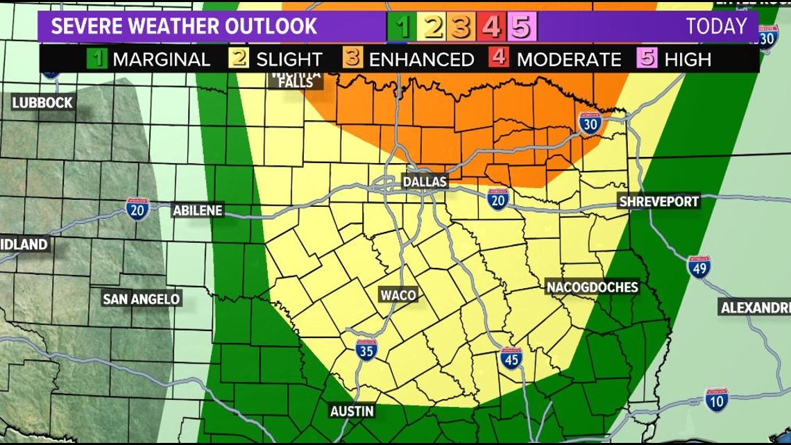
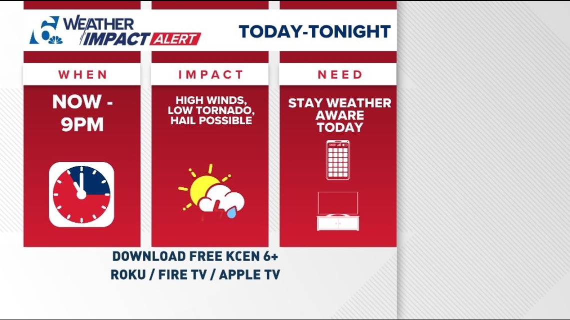
Good Afternoon, Central Texas. Our Weather Team has issued a Weather Impact Alert Day today with the strong possibility of not just rain and a cold front but also some strong to severe thunderstorms.
TIMING: After a quiet, humid and windy morning, temps are rising into the upper 70s this afternoon and isolated thunderstorms will start to increase. Storms will be moving west to east; south-southwest to north-northeast. Initial afternoon thunderstorms will be discrete (alone), and they could pack gusty winds, thunder, and lightning as they move through A tornadic threat is present, albeit low.
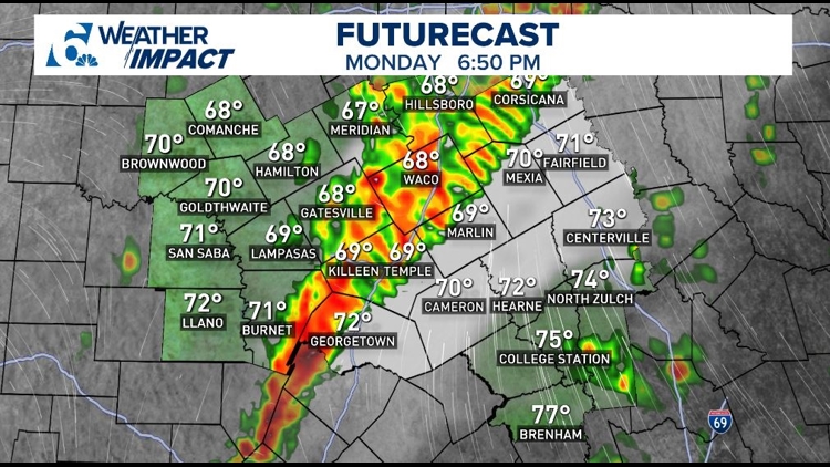
5PM-8PM: The cold front will march west to east late this afternoon into early this evening; storms will be present along that boundary and are expected to form into a line. Again, gusty straight-line winds are a high possibility along with hail and a low tornado threat.
HRRR Model:

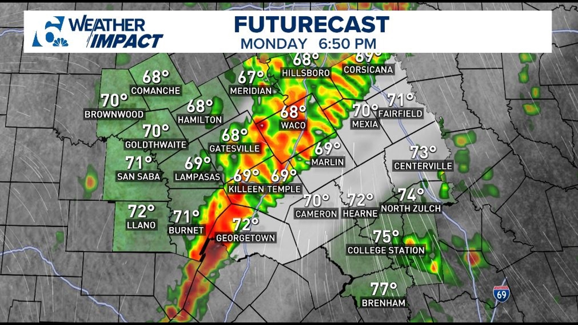
Models are showing isolated storms this afternoon followed by a linear formation of storms clustered, moving east this evening.
GRAF Model:

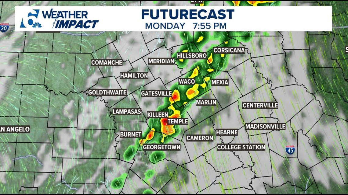
8PM-11PM: Notating that the sun is now going down early, so for many folks east of the I-35 corridor will see the line of storms move through when it is dark. Storms will move through quickly west to east. Again, we will push out notifications and have live video updates on KCEN 6 +. Storms will clear our far eastern counties in the overnight hours.
By sunrise, drier and cooler conditions will be present for Election Tuesday!

