ST. PETERSBURG, Fla. -- The National Hurricane Center will shrink its "cone of uncertainty" as forecasts, well, become a bit more certain.
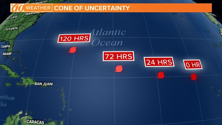
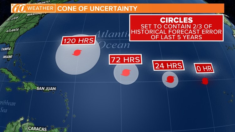
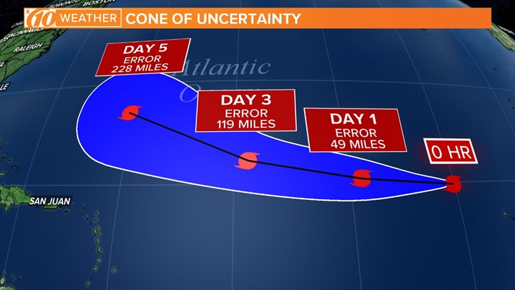
The officially-named Track Forecast Cone, a staple of hurricane season, shows where the center of a tropical system might end up at a given time. Meteorologists create the cone by taking the previous five years of forecast errors and draw it to show at least two-thirds of inaccuracy.
This is means about 60-70 percent of the time, the entire track of the storm likely stays within the cone. About a third of the time, it could end up moving out of the cone.
Better forecasting in the past five years allow forecasters to draw a narrower cone, with the goal of making a more accurate forecast.
But remember: it's not a perfect forecast, and you can't bet on the center of the storm following a perfect path down the center of the cone. Impacts from a storm, including high wind, storm surge and heavy rain, can extend well beyond the center.
"A third of the time storms can still fall outside the cone," Dan Brown, a senior hurricane specialist in charge of warning coordination, told the Miami Herald. "It doesn't provide you with any indication of potential impacts.
"It's only showing you where the center is likely to track."
Photos: National Hurricane Center's 'cone of uncertainty' to shrink
Also new for the upcoming season is forecasters will issue storm information a full 72 hours in advance, giving people an extra 24 hours to prepare.
These changes come after an active 2017 season, with 10 hurricanes forming back-to-back. Six of those became major hurricanes, with winds in excess of 111 mph: Harvey, Irma, Jose, Lee, Maria and Ophelia.
Storm names Harvey, Irma, Maria and Nate never will be used again; any future use would be insensitive considering the death and destruction they brought in 2017.
The start of the Atlantic hurricane season is June 1.
►Make it easy to keep up-to-date with more stories like this. Download the 10 News app now.
Have a news tip? Email tips@wtsp.com, visit our Facebook page or Twitter feed.


