Back in the day, we used to call it "winter."
Now, it's got its own catchphrase: the polar vortex, which could be making a return engagement to the U.S. later this month or in January.
Or maybe it won't.
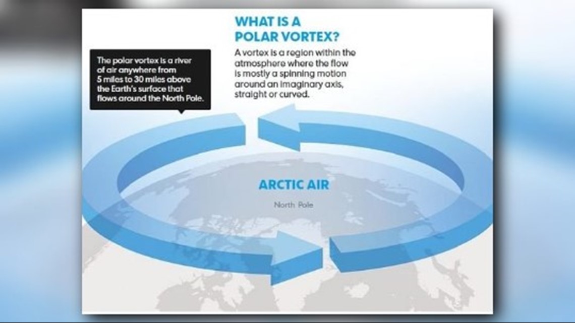
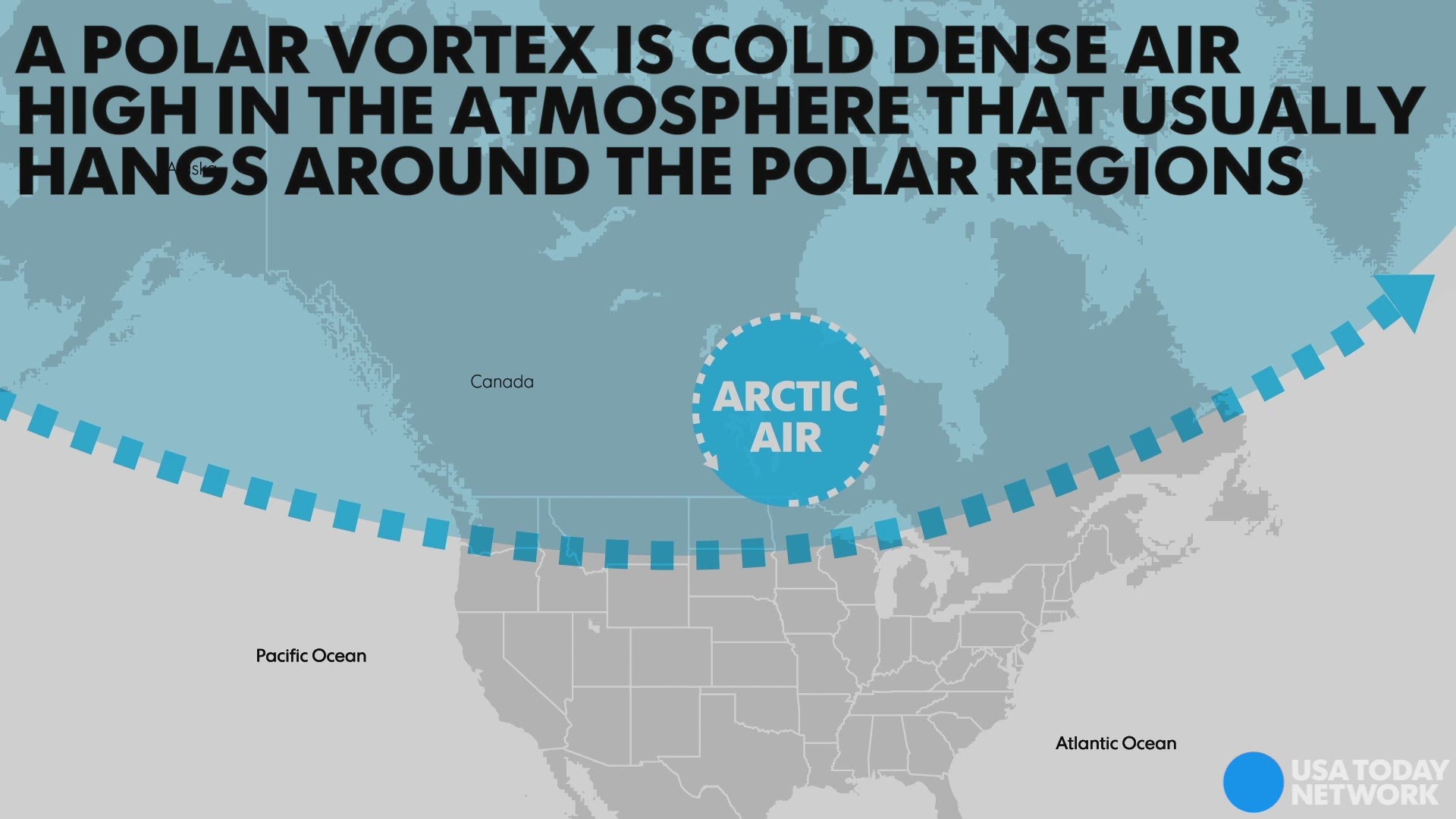
Regardless, the polar vortex – everyone's favorite wintertime whipping boy – is a large area of cold air high up in the atmosphere that normally spins over the North Pole (as its name suggests). Sometimes, however, thanks to a meandering jet stream, some of the vortex can slosh down into North America, helping to funnel unspeakably cold air down here where we all live.
And it's not exactly a new phenomena, either, despite how hashtag-friendly it is.
The vortex has likely "existed in some form for the past 4.5 billion years," according to senior scientist Jeff Kiehl of the National Center for Atmospheric Research in Boulder, Colorado. Although it's been understood by scientists for several decades and referred to in meteorological literature in the 1950s, it only entered the popular lexicon as a synonym for miserably cold winter weather a few years ago.


The vortex is strongest during the winter and usually weakens or even disappears in the summer. Its position can determine what part of the USA the Arctic air will invade.
Some of the long-range computer models that meteorologists use to predict the weather are showing signs that some of the vortex could invade the U.S. in January.
Climate researcher Judah Cohen of Atmospheric and Environmental Research, considered by some the guru of the polar vortex, tweeted last week that "confidence is growing in a significant polar vortex disruption in the coming weeks. This could be the single most important determinant of the weather this winter across the Northern Hemisphere."
The whole process is a complex dance among air masses at various levels of the atmosphere, occurring over different regions of the Northern Hemisphere, as detailed by the Capital Weather Gang. It involves such factors as sudden stratospheric warming, Siberian snow cover, Arctic sea ice coverage and large-scale climate patterns such as the Arctic Oscillation.
Other experts are more wary about the predicted invasion of the vortex: Amy Butler, a National Oceanic and Atmospheric Administration scientist, tweeted Sunday that "not all other models on board yet so still reason to be cautious."
In addition, the polar vortex, even if it does appear down here, is likely still at least a couple of weeks away. The Climate Prediction Center favors above-average temperatures for most of the nation until the end of December.
In any event, don't fear the polar vortex. It isn't like a tornado or hurricane; it's not something you can look up and see in the sky one day; there's no freakish spinning whirlwind of ice and snow roaring down from Canada.
When it arrives, it will just be very cold, which is also known as ... winter.

