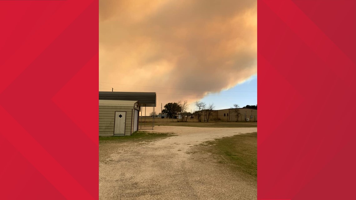
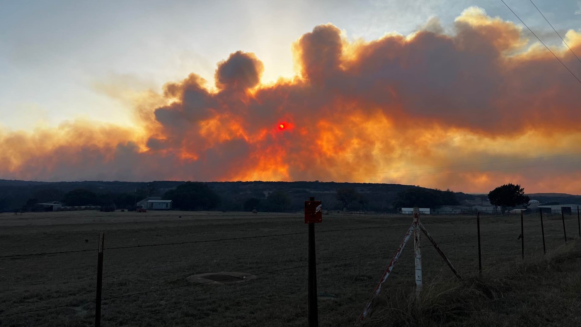
CORYELL COUNTY, Texas — Fort Hood leaders said efforts to contain range fires Sunday were successful in mitigating a threat to homes in the town of Flat.
Flat residents were asked to evacuate Sunday afternoon but the Texas A&M Forest Service said they could return a little before 9 p.m.
The Crittenburg Complex Fire had burned more than 19,500 acres with 5% containment since Sunday, according to the Texas A&M Forest Service.
Fort Hood Directorate of Emergency Services said the fire jumped East Range Road earlier in the day and fire crews aggressively responded to that threat.
“Through the use of both air and ground assets from federal, state and local authorities the immediate threat to civilian homes and personnel in Flat, Texas, has been mitigated,” Col. Chad Foster, U.S. Army Garrison Fort Hood, said.
Firefighting capabilities included water airdrops by U.S. Fish and Wildlife Service aircraft along with military and Texas A&M Forest Service bull dozers and personnel conducting offensive and defensive operations to suppress and contain the fires, according to Fort Hood officials.
“We are grateful for all the support Fort Hood is currently receiving from firefighting and law enforcement agencies. Through this cooperative effort, I do believe we will be ultimately successful in putting these fires out, Foster said.
“I would ask that everyone avoid the northeast area of the post as the firefighting operations are ongoing and we need to keep those roads clear so military and emergency vehicles can respond appropriately.”
East and West Range Roads are currently closed with only military and emergency services vehicles allowed access.
Story continues below video.
The Texas A&M Forest Service said the fire started as three fires that combined to form what's called the Crittenburg Complex Fire.
As of 8:45 p.m. Sunday, the fire was an estimated 17,454 acres with 0% containment.
A satellite image from the National Weather Service in Fort Worth showed the exact area of where the fire was burning.


Residents of Flat were encouraged to evacuate. The towns of Fort Gates and Gatesville were also put on pre-evacuation.
Plumes from the fire are visible from satellite imagery shared by the NWS Austin/San Antonio office.
6News is continuing to confirm details regarding the fire.
Also on KCEN TV:
This is a developing story. Check back for more details.

